
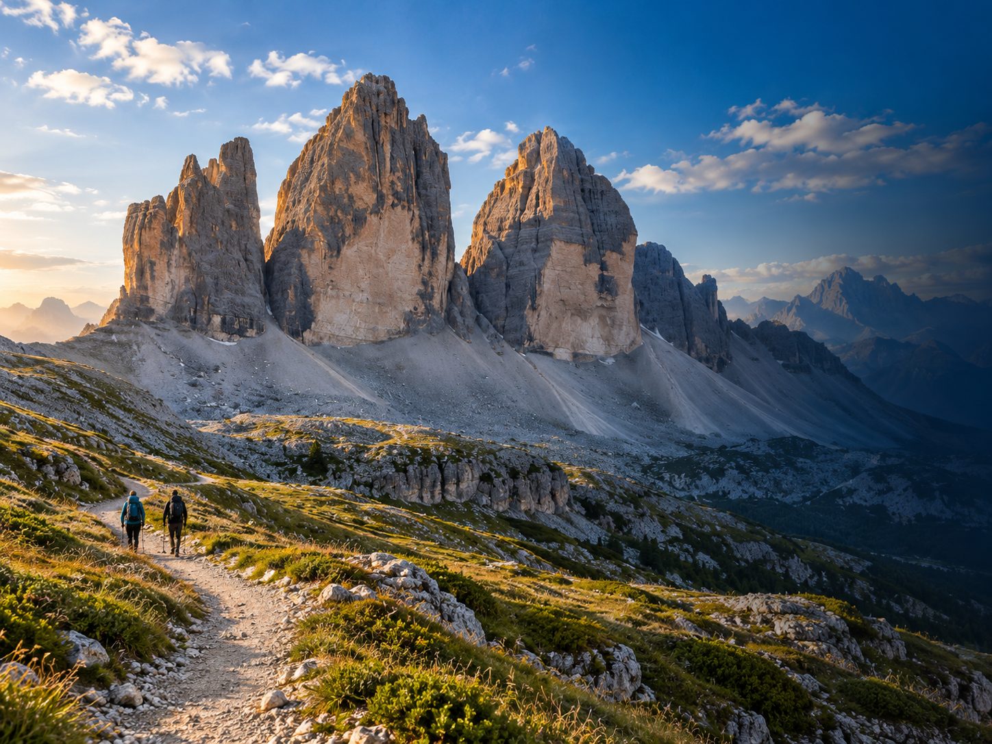
1. Pragser Wildsee – Seeweg Rundweg
A loop around Lago di Braies: from the car park past St Mary's Chapel, anticlockwise all the way around the lake and back to the start.
3.5 km · ↑ 110 m · ≈ 1:15 h · Hiking trail (SAC T1)
Five Dolomites classics – ready for your Garmin watch
Five popular Dolomites hikes in one package: the lakeside path around Lago di Braies, the Hirzelweg to Rifugio Roda di Vael, the loop around the Tre Cime di Lavaredo, the Adolf-Munkel-Weg below the Odle peaks and the Seceda loop from Col Raiser. You get every tour as a GPX file for your Garmin watch, plus a PDF guide with map, elevation profile, stages and places to eat.
For: Hikers with a Garmin watch
Formats: ZIP with GPX, KML and PDF files. Works on Garmin devices with course navigation (navigation along a route). We cannot guarantee every single device.
Compatible with: Garmin · GPX-capable hiking apps · Google My Maps · Google Earth
Choose the language of your guide
Secure payment with Stripe. You get the download link by email.
Version 9 · Release r2
Overview of the adventure as a PDF, free to download and share.
Dolomites Explorer brings together five Dolomites hikes for your Garmin watch, ordered from short and easy-going to a longer mountain walk:
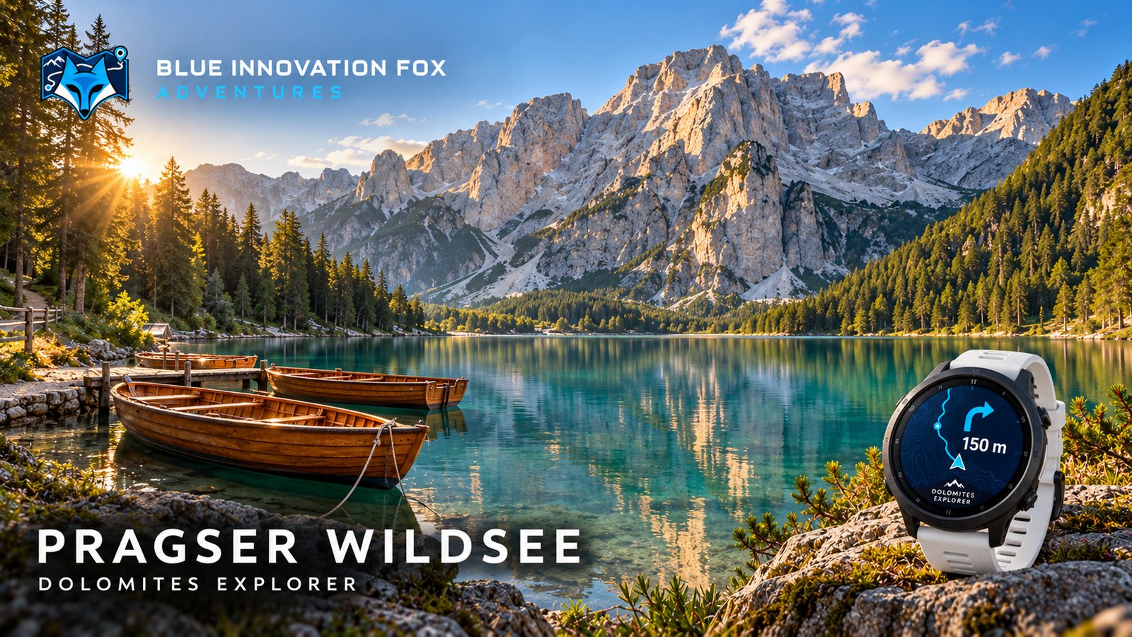
Lago di Braies: the lakeside path all the way around the lake, starting at the car park on the shore.
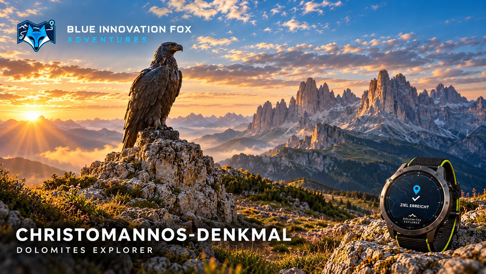
Rifugio Roda di Vael: from the Paolina top station along the Hirzelweg, past the Christomannos monument to the hut and back the same way.
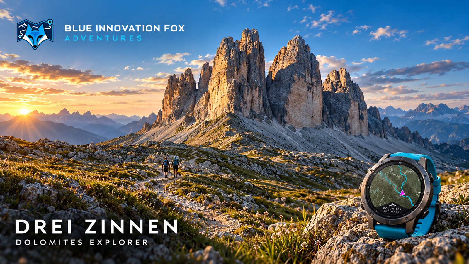
Tre Cime di Lavaredo: the loop from Rifugio Auronzo via Rifugio Lavaredo, the Paternsattel saddle, the Dreizinnenhütte and the Langalm.
Adolf-Munkel-Weg: the loop below the Odle peaks via Geisleralm and Dusler Alm, starting at Zanser Alm in the Villnöss valley.
Seceda: the loop up to the Seceda summit and back via the Pieralongia pasture and the Regensburger hut, with the Col Raiser top station as start and finish.
Every tour comes as a GPX file for Garmin navigation. The PDF guide in German and English shows each tour with map, elevation profile, stages, starting point and places to eat, plus a packing list and instructions for importing the tours to your watch. The routes are based on OpenStreetMap and were assembled for this adventure and enriched with elevation data.
Conditions on site such as weather, snow, closures or trail condition change constantly – check them yourself before every tour. Map data © OpenStreetMap contributors, ODbL 1.0.
5 tours
A loop around Lago di Braies: from the car park past St Mary's Chapel, anticlockwise all the way around the lake and back to the start.
3.5 km · ↑ 110 m · ≈ 1:15 h · Hiking trail (SAC T1)
Panoramic trail to Rifugio Roda di Vael: from the Paolina top station on trail 539 and the Hirzelweg 549 past the Christomannos monument to the hut, and back the same way.
3.8 km · ↑ 210 m · ≈ 1:30 h · Mountain hiking trail (SAC T2)
A loop around the Tre Cime di Lavaredo starting at the car park by Rifugio Auronzo: past Rifugio Lavaredo up to the Paternsattel saddle, on to the Dreizinnenhütte and back to the start via the Langalm pasture.
9.1 km · ↑ 400 m · ≈ 3:15 h · Mountain hiking trail (SAC T2)
A loop from Zanser Alm: along the Adolf-Munkel-Weg below the north faces of the Odle peaks to Geisleralm and back past Dusler Alm.
9.3 km · ↑ 420 m · ≈ 3:30 h · Mountain hiking trail (SAC T2)
A loop from the Col Raiser top station: past the Troier Hütte up to the Seceda, down via the Pieralongia pasture and past the Regensburger hut back to the start.
9.6 km · ↑ 500 m · ≈ 4:00 h · Mountain hiking trail (SAC T2)
For each tour a GPX course file, a PDF guide in German and English, a README with the import steps, plus the licence and attribution files.
Import the GPX file as a course, for example via Garmin Connect, and send it to your watch. The README and the guide walk you through each step.
The route is based on OpenStreetMap data (© OpenStreetMap contributors, ODbL) and was assembled for this adventure and enriched with elevation data.
According to the trail data in OpenStreetMap, the tours range from T1 (hiking) to T2 (mountain hiking). How demanding a tour is on the day depends heavily on weather and conditions – check them before every tour.
At the car park at Lago di Braies, the Paolina top station, the car park at Rifugio Auronzo, the car park at Zanser Alm and the Col Raiser top station. The guide shows the starting point of every tour on a map.
Yes, two tours start at a top station: the Hirzelweg to Rifugio Roda di Vael at the Paolina top station and the Seceda loop at the Col Raiser top station. Check in advance that the lift is running on the day of your hike.