Coming soonHikingMallorca, Spanien5 toursEnglish, German, French, Spanish and Italian
5 hikes between mountains and sea
From the summit above the Bay of Alcúdia to the rocky cove below Deià: this guide bundles five varied day hikes on Mallorca with GPX tracks and a printable PDF guide.
For: Garmin-Nutzer, Wandernde, Outdoor-Reisende
Total distance
31.4 km
Total ascent
approx. 1,710 m
Best season
Autumn to spring (October–May); in summer start early in the morning
What you get
ZIP package (12.2 MB, 25 files)
5 GPX course files, one per tour
Map files for Google My Maps (KML) with step-by-step instructions as PDF
Map files for Google Earth (KMZ)
Premium guide as PDF in the language you choose: English, German, French, Spanish and Italian (map, elevation profile, stages, checklist)
Up to 3 wisdom quotes to inspire you on the trail
Packing lists for your tours
Licence and source files (README, ATTRIBUTION.txt, manifest.json with checksums)
Formats: ZIP with GPX, KML and PDF files. Works on Garmin devices with course navigation (navigation along a route). We cannot guarantee every single device.
Compatible with: Garmin · GPX-capable hiking apps · Google My Maps · Google Earth
Coming soonThis collection is not on sale yet. Subscribe to the newsletter and you hear about it first. To the newsletter →
Version 1 · Release r2
Download the folder
Overview of the adventure as a PDF, free to download and share.
Five day hikes on Mallorca in one guide: the climb from the Ermita de la Victòria to the Talaia d'Alcúdia, the cobbled Camí del Barranc through the Biniaraix gorge, the coastal walk to the monastery ruins of La Trapa, the short loop down to Cala Deià, and the path through the Bóquer valley to the cove of the same name. The hikes are between 4 and 10 km long and range from easy to moderate. Each hike comes with a GPX track, stages, notes on getting there, food and safety, and source references.
Highlights
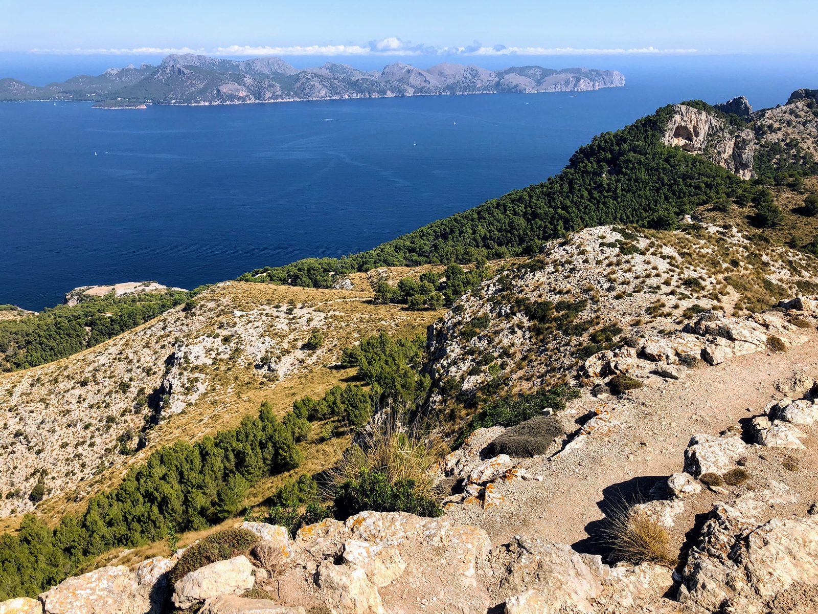
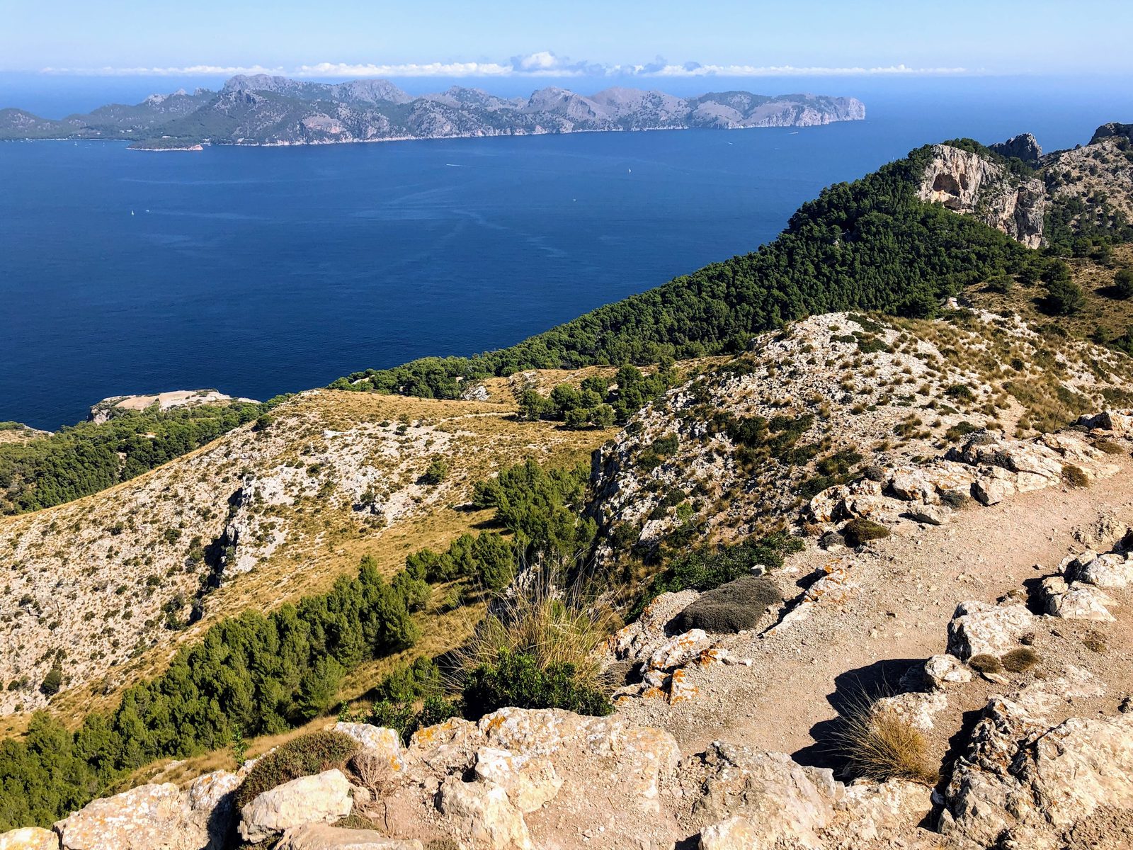
Panoramic view from the Talaia d'Alcúdia over two bays
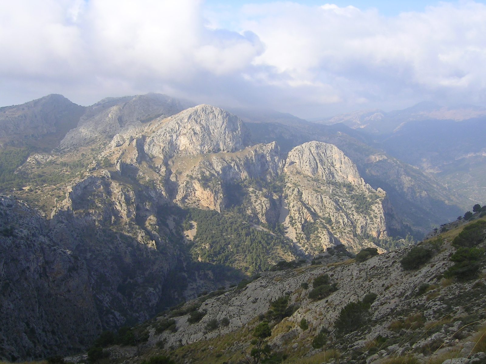
Cobbled Camí del Barranc with dry-stone walls and olive terraces
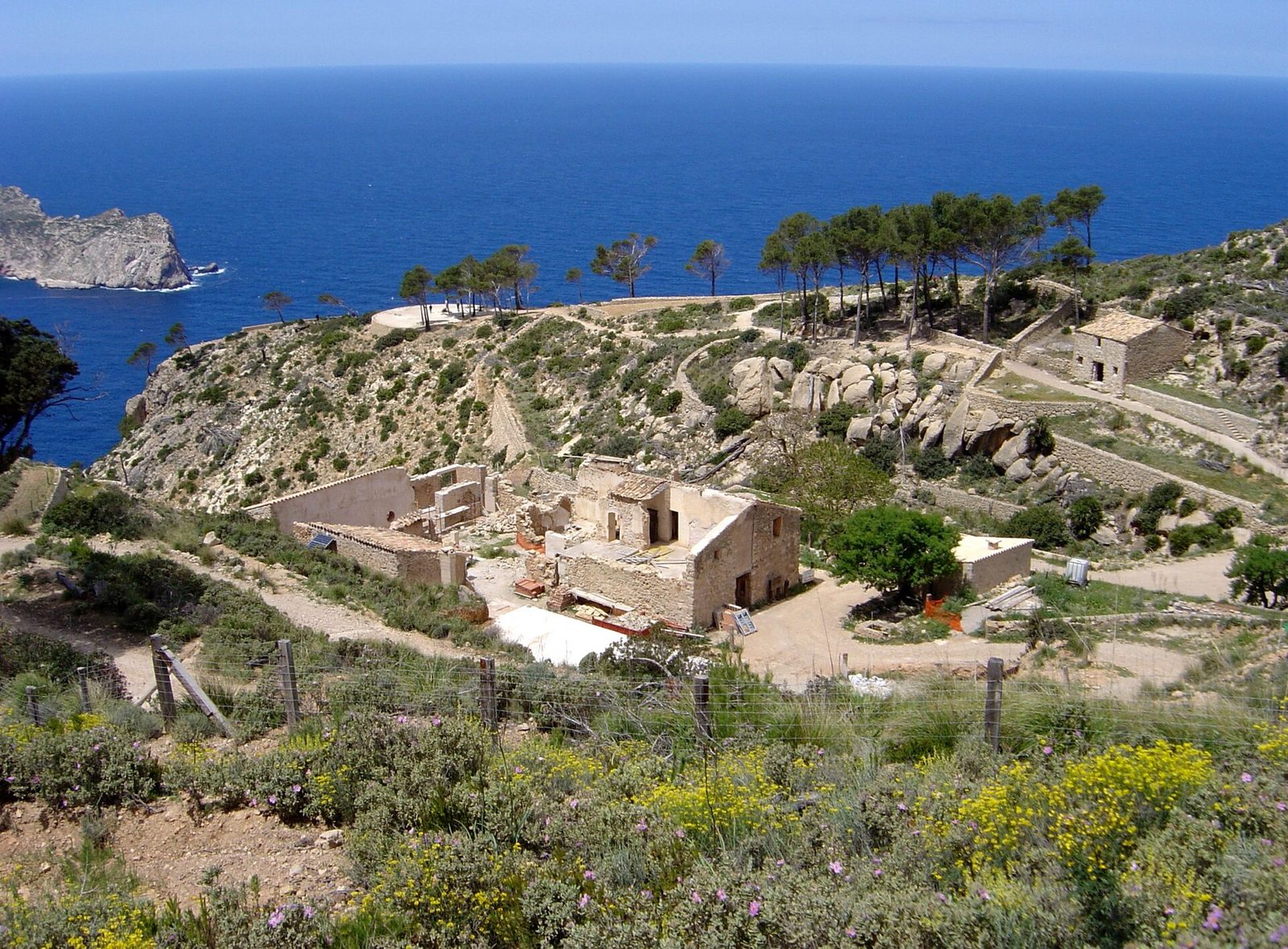
Monastery ruins of La Trapa high above the sea
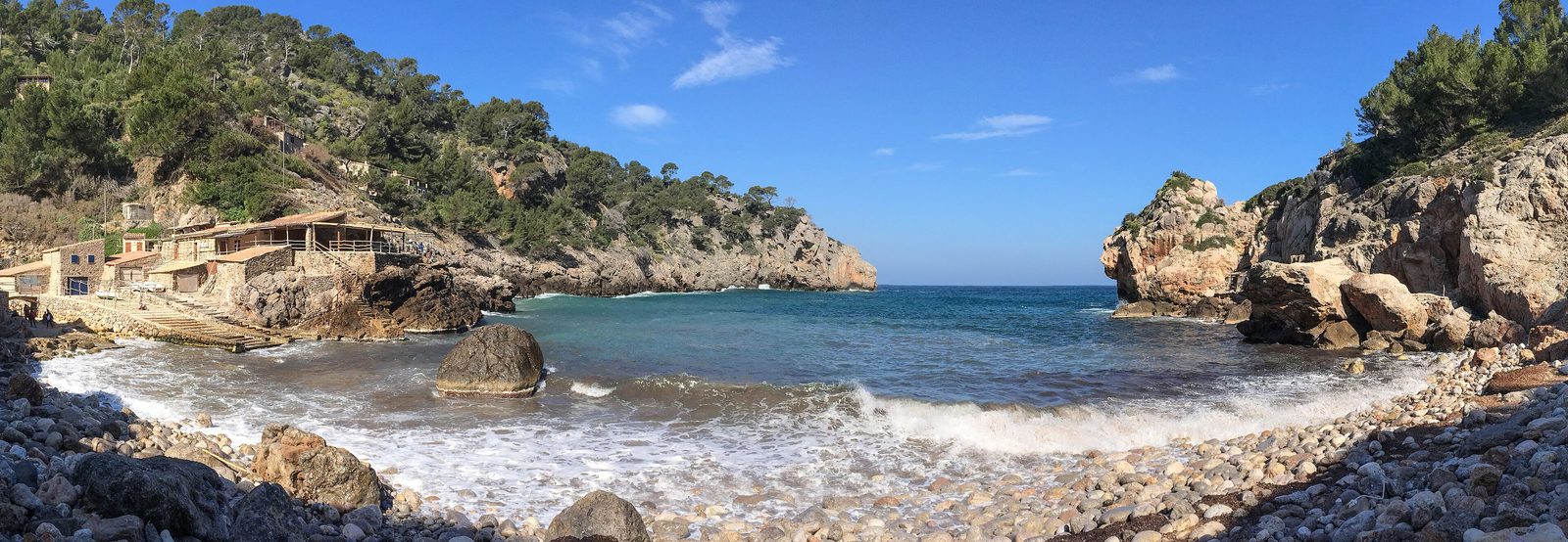
Short loop to the rocky cove of Cala Deià
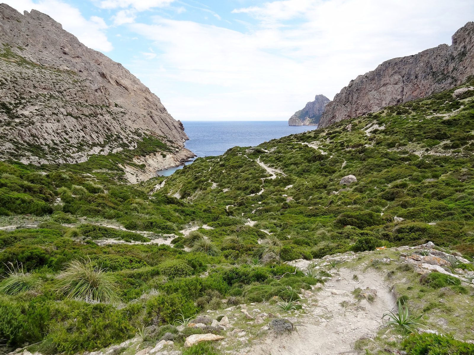
Wild Bóquer valley down to the pebble cove
5 GPX tracks plus a complete offline PDF guide
The tours
5 tours
12345
Opening the map loads OpenStreetMap tiles; your IP address is sent to the map server. Privacy
1. Talaia d'Alcúdia ab Ermita de la Victòria (hin & zurück)
Summit hike from the Ermita de la Victòria up Talaia d'Alcúdia with sea views to both sides of the peninsula; out and back on the same path.
4.8 km · ↑ 330 m · ≈ 2:15 h · Mountain hiking trail (SAC T2)
Mallorca Explorer – Tramuntana & Coast in the spotlight
Photo: Wasquewhat, CC BY-SA 4.0, via Wikimedia CommonsPhoto: Txomin Martínez, CC BY-SA 3.0, via Wikimedia CommonsPhoto: Antoni Sureda; nachbearbeitet von de:User:Oltau (09.03.2009), CC BY-SA 3.0, via Wikimedia CommonsPhoto: Michal Osmenda from Brussels, Belgium, CC BY 2.0, via Wikimedia CommonsPhoto: Olaf Tausch, CC BY 3.0, via Wikimedia Commons
Frequently asked questions
Do I need a guide for these hikes?
No. Each hike comes with a GPX track for your navigation app or GPS device and a detailed PDF guide with stages, waypoints, difficulty and safety notes.
Are the hikes suitable for beginners?
The collection ranges from easy to moderate. The walks at Deià and in the Bóquer valley are short and suit beginners with basic fitness; the Talaia d'Alcúdia, the Barranc de Biniaraix and La Trapa need sure footing and stamina.
Can I reach the starting points without a car?
Partly. The starting points of three hikes are served by TIB buses; there is no documented bus service to the Ermita de la Victòria. Each hike in the guide has notes on getting there; current timetables at tib.org.
What is the emergency number in Spain?
Dial 112, the European emergency line. The guide prints the checked emergency numbers on a page of their own.
What is included in the package?
Five GPX files, a printable PDF guide in your language, a README with import steps, and the licence and source notes.