HikingMadeira, Portugal7 toursEnglish, German, French, Spanish and Italian
Madeira's 7 Iconic Hiking Trails
From dizzying coastal cliffs to the misty laurel forest and the island's highest peaks, this guide bundles Madeira's seven best-loved hiking routes into one premium package with GPX tracks and a printable PDF guide.
For: Garmin-Nutzer, Wandernde, Outdoor-Reisende
Total distance
34.2 km
Total ascent
approx. 2,500 m
Best season
Late spring to early autumn (May–October)
What you get
ZIP package (13.4 MB, 31 files)
7 GPX course files, one per tour
Map files for Google My Maps (KML) with step-by-step instructions as PDF
Map files for Google Earth (KMZ)
Premium guide as PDF in the language you choose: English, German, French, Spanish and Italian (map, elevation profile, stages, checklist)
Up to 3 wisdom quotes to inspire you on the trail
Packing lists for your tours
Licence and source files (README, ATTRIBUTION.txt, manifest.json with checksums)
Formats: ZIP with GPX, KML and PDF files. Works on Garmin devices with course navigation (navigation along a route). We cannot guarantee every single device.
Compatible with: Garmin · GPX-capable hiking apps · Google My Maps · Google Earth
Seven of Madeira's most iconic hiking routes in one guide: the exposed high-mountain ridge trail between Pico do Areeiro and Pico Ruivo, the laurel-forest levada walks of 25 Fontes, Levada do Rei and Fanal, the easy family walk to Balcões, and the dramatic coastal trail to Ponta de São Lourenço. Difficulty ranges from easy to moderate, with a GPX track, a printable PDF guide and practical notes for every route.
Highlights
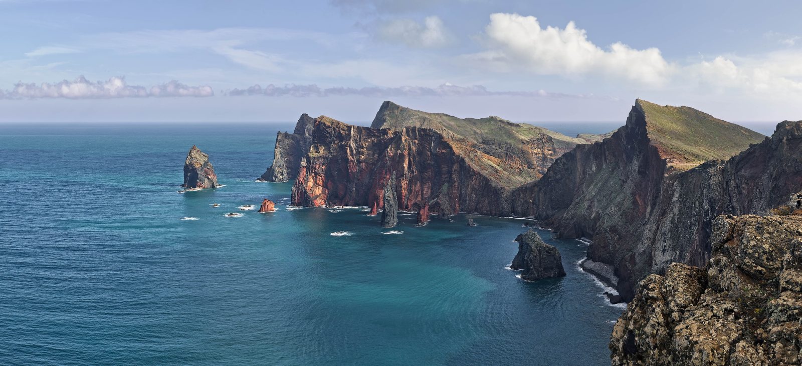
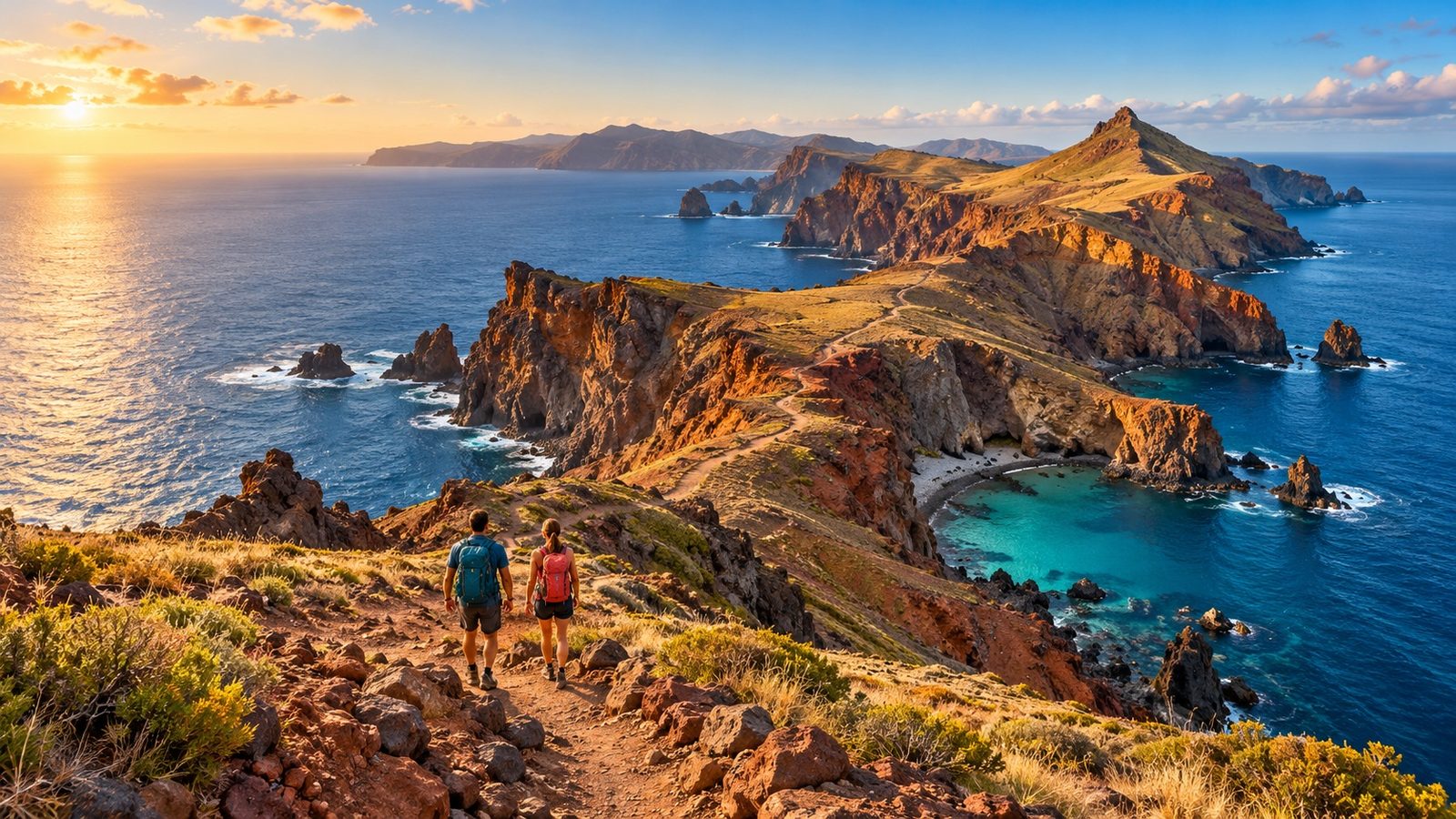
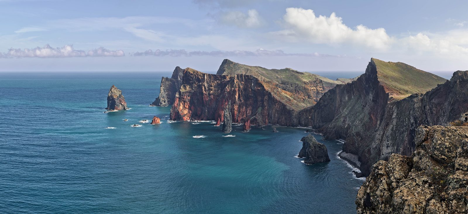
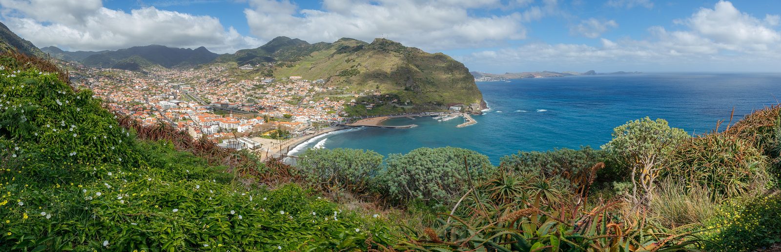
Dramatic cliff-top views at Ponta de São Lourenço
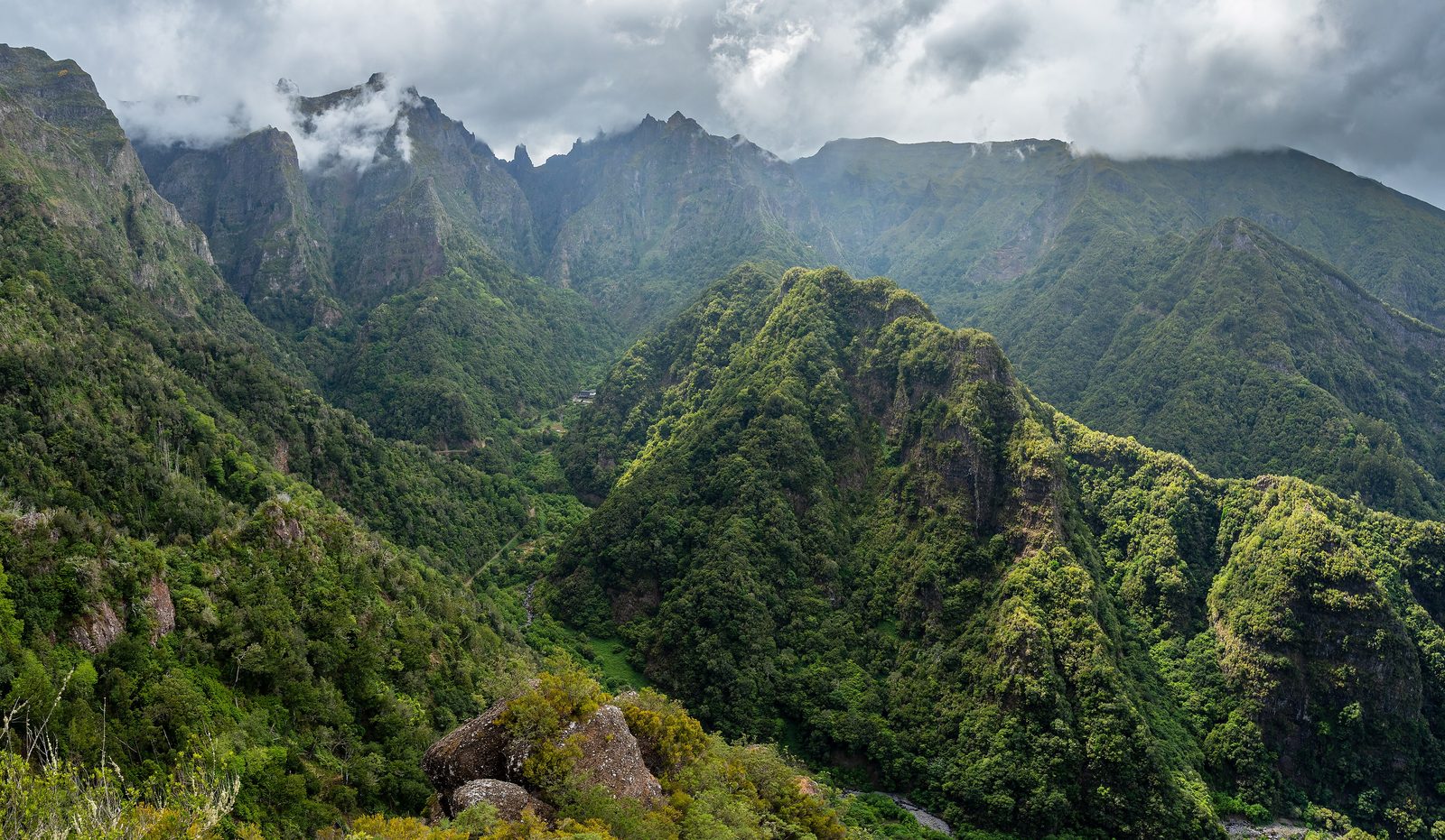
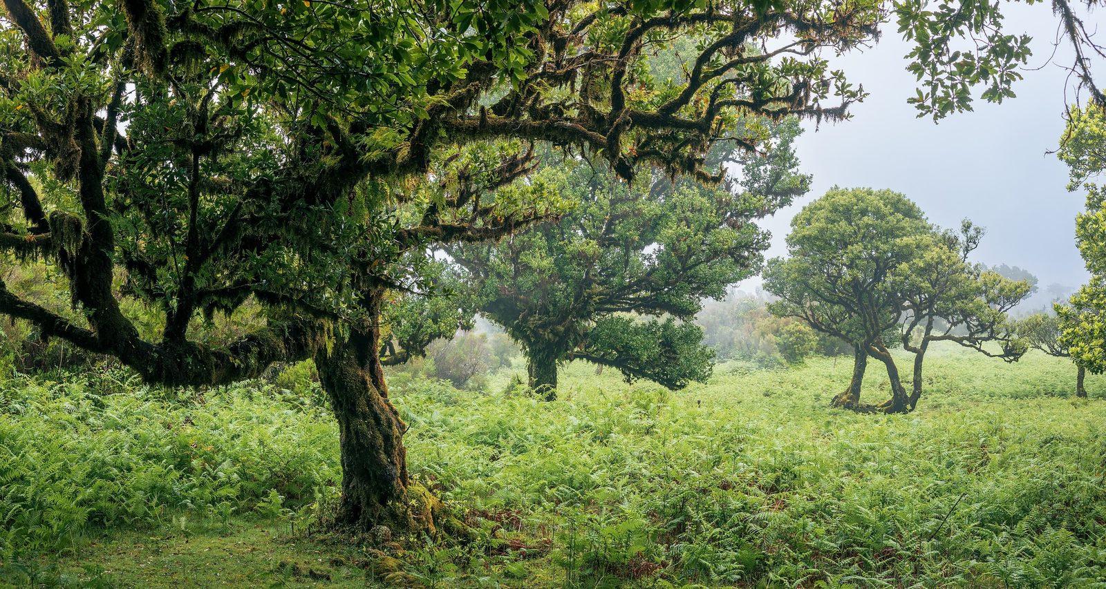
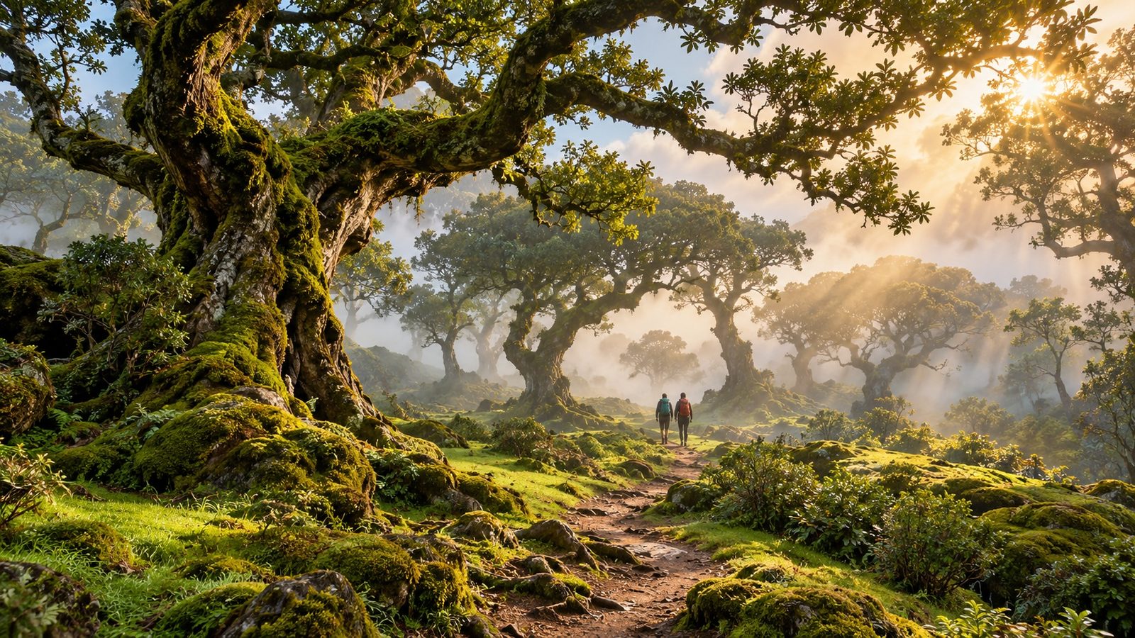
Ancient, UNESCO-listed laurel forest in Fanal
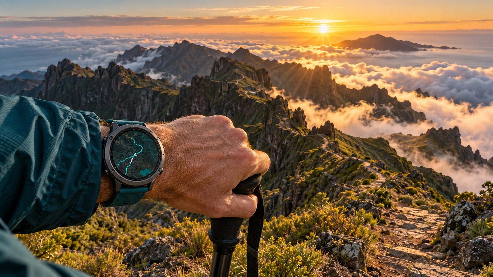
Iconic high-mountain ridge walking above the clouds
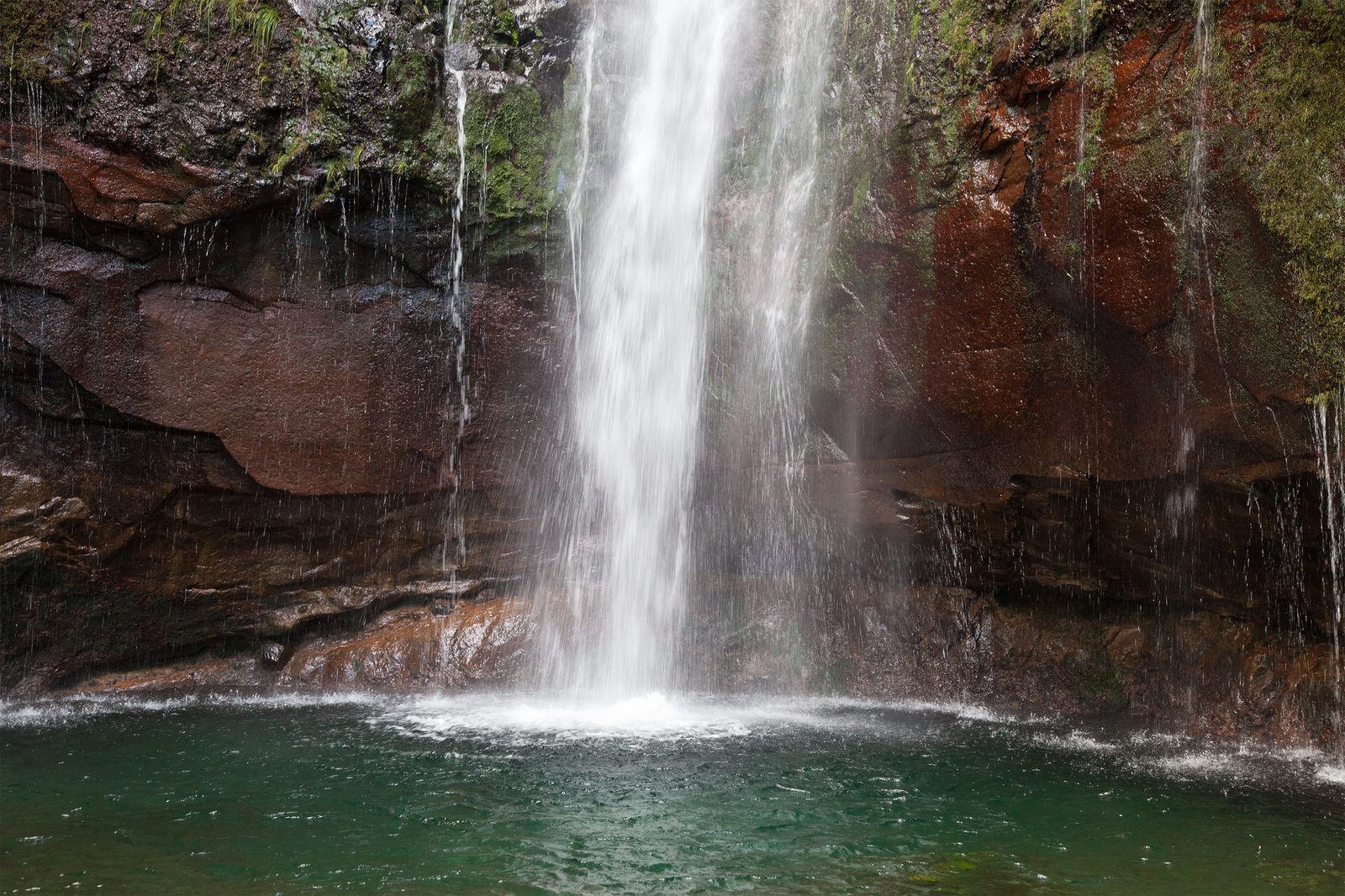
The famous "25 Fontes" waterfall and pool
Centuries-old levada irrigation channels
Panoramic viewpoints over the central massif
Madeira's highest peaks
GPX tracks plus a complete offline PDF guide
The tours
7 tours
1234567
Opening the map loads OpenStreetMap tiles; your IP address is sent to the map server. Privacy
1. PR 8 - Vereda da Ponta de São Lourenço
The Vereda da Ponta de São Lourenço runs from Baía d'Abra to Casa do Sardinha at Madeira's easternmost tip, past volcanic coastal terrain with sea views. Since 30 September 2026, IFCN repair works have been underway; the trail stays open, with small marked detours.
4.0 km · ↑ 270 m · ≈ 2:00 h · Hiking trail (SAC T1)
An easy, short levada walk from Ribeiro Frio to the Balcões viewpoint along the Levada da Serra do Faial, with views of the central mountain range. Out and back on the same path.
1.4 km · ↑ 100 m · ≈ 0:45 h · Hiking trail (SAC T1)
One of Madeira's best-known ridge hikes: from Pico do Areeiro (1,818 m) across five rock tunnels to the island's highest peak, Pico Ruivo (1,862 m). One-way route, mandatory online booking.
5.3 km · ↑ 790 m · ≈ 5:00 h · Demanding mountain hiking trail (SAC T3)
The short, direct route from Achada do Teixeira to Madeira's highest peak, Pico Ruivo (1,862 m) — on a well-maintained path, noticeably shorter and less exposed than the Vereda do Areeiro (PR1).
2.7 km · ↑ 370 m · ≈ 1:45 h · Mountain hiking trail (SAC T2)
Madeira's most famous levada hike: from Rabaçal, a narrow irrigation-canal path leads through laurel forest to the Lagoa das 25 Fontes, a rock pool fed by numerous springs. Out and back on the same path.
4.6 km · ↑ 110 m · ≈ 1:45 h · Mountain hiking trail (SAC T2)
A moderate hike from the Paúl da Serra plateau through UNESCO-protected laurel forest to the volcanic basin of Fanal. One-way route, start and end at different points along road 209.
11.1 km · ↑ 340 m · ≈ 4:00 h · Mountain hiking trail (SAC T2)
The Levada do Rei runs from the water treatment facility at Quebradas (São Jorge) through dense laurel forest to the Ribeiro Bonito nature reserve. Moderate one-way route along a historic watercourse, 5.0 km one-way.
5.0 km · ↑ 530 m · ≈ 3:15 h · not classified in OSM
Madeira Explorer – 7 Iconic Hiking Adventures in the spotlight
Image: AI generated by Blue Innovation Fox Redaktion · All rights reserved (own photo)AI-generated illustration. Landscape and details may differ from reality.Photo: Richard Bartz, CC BY-SA 3.0, via Wikimedia CommonsPhoto: Ximonic (Simo Räsänen), CC BY-SA 4.0, via Wikimedia CommonsPhoto: Ximonic (Simo Räsänen), CC BY-SA 4.0, via Wikimedia CommonsPhoto: H. Zell, CC BY-SA 3.0, via Wikimedia CommonsPhoto: Unukorno, CC BY 3.0, via Wikimedia CommonsImage: AI generated by Blue Innovation Fox Redaktion · All rights reserved (own photo)AI-generated illustration. Landscape and details may differ from reality.Image: AI generated by Blue Innovation Fox Redaktion · All rights reserved (own photo)AI-generated illustration. Landscape and details may differ from reality.
Frequently asked questions
Do I need a guide to hike these trails?
No guide is required. Each route comes with a GPX track for your navigation app or GPS device and a detailed PDF guide covering the path, waypoints, difficulty and safety notes.
Are these trails suitable for beginners?
The collection ranges from easy to medium difficulty, so most of the seven routes work well for reasonably fit beginners. Check each route's individual difficulty rating in the guide before you start, especially for the high-mountain trail.